Highly interactive map view with cutting-edge features
Map your location data with ultra-advanced digital visualization tools exceptionally useful for teams in the field.
Key Benefits
- Navigate to any location: Digital visualization tools are indispensable to contemporary businesses and that’s exactly what Pierp’s map view offers. With a whole array of ultra-modern digital assets at their disposal, teams working in the field- no matter what the industry is, can efficiently track and manage resources, & optimize routes.
- Automatically recognize address fields & map records geographically: Simplify your data management process with our cutting-edge map view feature, which seamlessly detects address fields and maps records geographically. Besides, enhances your workflow efficiency and renders valuable insights. This data empowers your enterprise to optimize operations with astonishing ease.
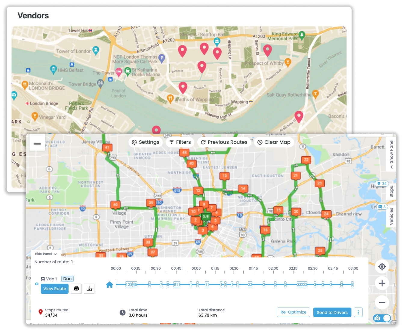
- Display pin & preview of the address: Effortlessly view address pins and previews with Pierp’s intuitive map view interface. That’s not it! With just one click, users can expand to view the complete record in context, providing a thorough understanding of each location.
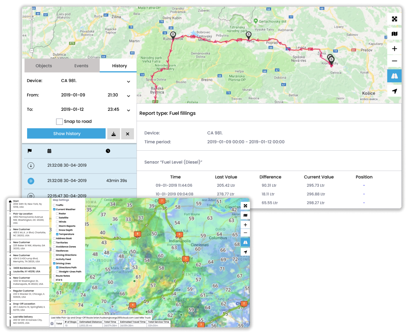
- Simplified directions & navigation with one-click: Pull up driving directions instantly with a single click. Our user-friendly interface allows you to retrieve route guidance for hassle-free navigation. Save time and effort with our intuitive solution, designed to enhance convenience and productivity to the highest level. In a nutshell.
Key Benefits
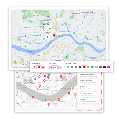
- Color code and resize location markers: Segment your data by setting colors and resizing location markers as per your preferences. Easy segmentation and information visualization facilitate clarity and improve data interpretation. Besides, you can harness map view’s intuitive features that allow you to organize location data.
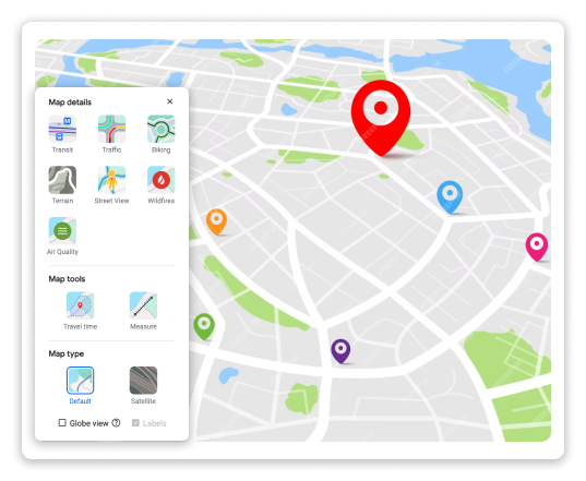
- Customizable map elements: Take control of your data as Pierp’s map view allows you to personalize your map with tons of customizable elements. This grants you the flexibility to choose the desired level of detail for precise data visualization as per your specifications. As a result, you achieve accuracy & clarity at the highest level.
- Add unlimited addresses: No more cap on adding addresses. Add an unlimited number of addresses and expand your database. Courtesy- Our user-friendly platform, users can input and manage an extensive array of locations.
- Apply a radius to address data: Applying a radius to the address data for easy visualization of distances. You can visualize distances from locations in a wide array of units such as meters, feet, km, and miles. Add a visually appealing touch to your data analysis.

